En
Log in
All resources
Create a design
Tools
7,118 Free Images of Engraved Maps
engraving
grabados
fondo antiguo
city
ciudad
libros del siglo xvi
belgium
bélgica
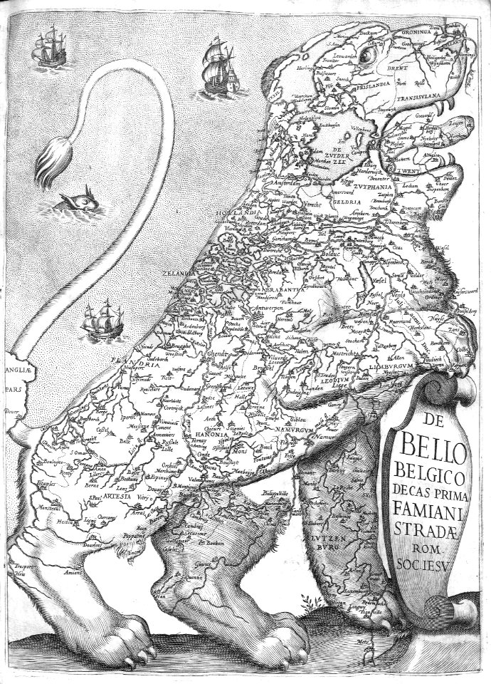
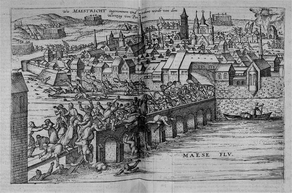
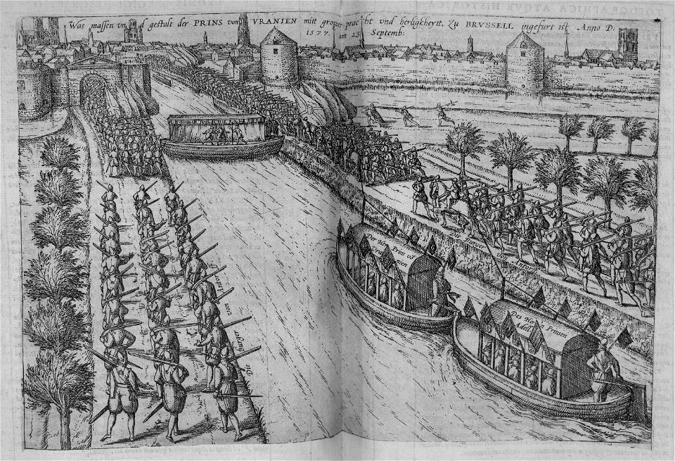
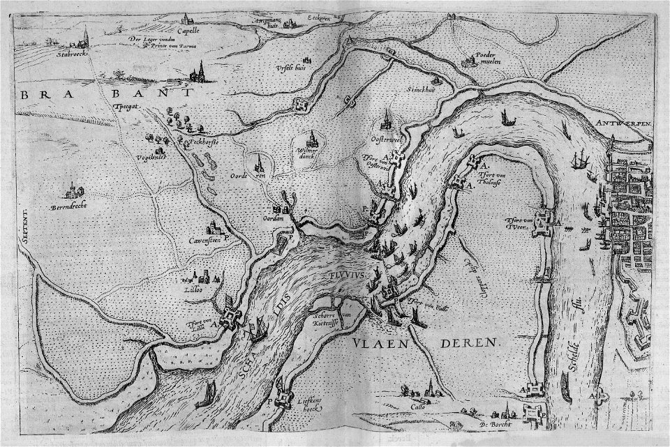
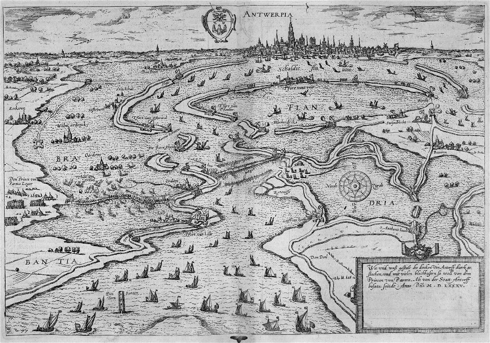
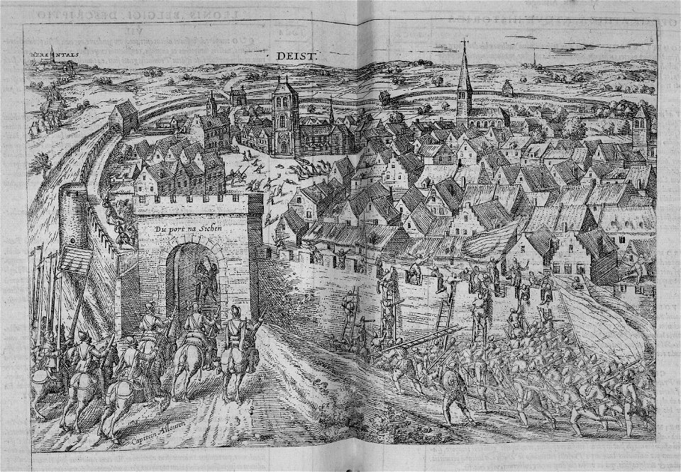
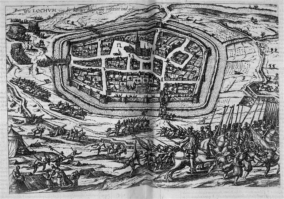
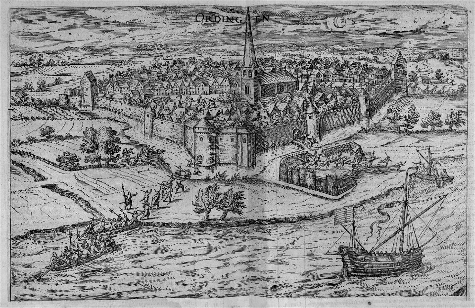
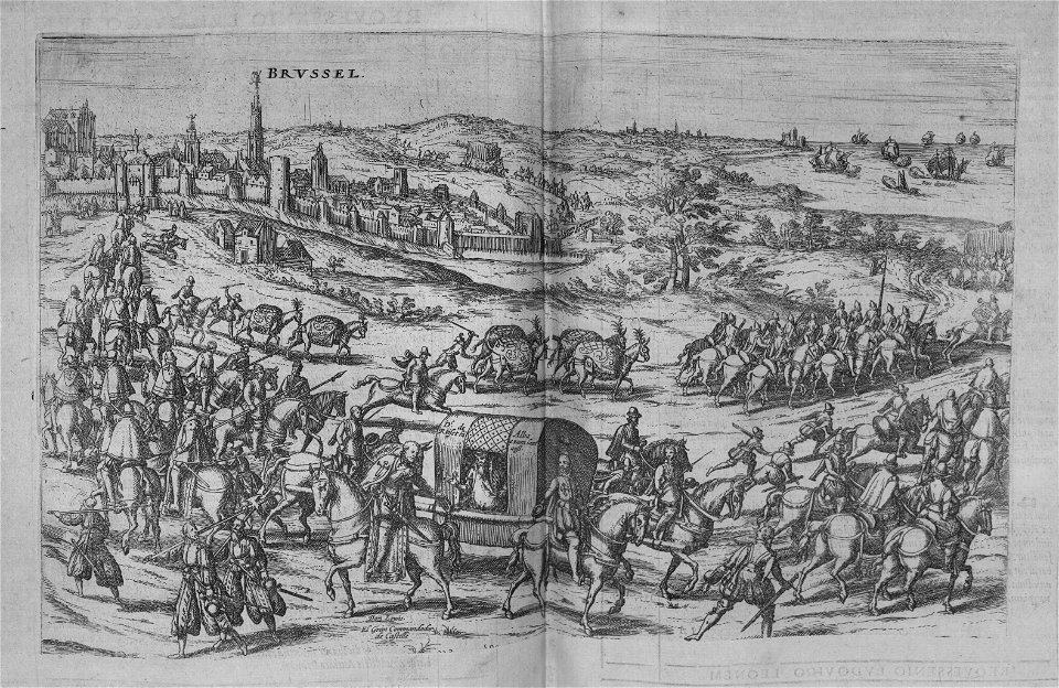
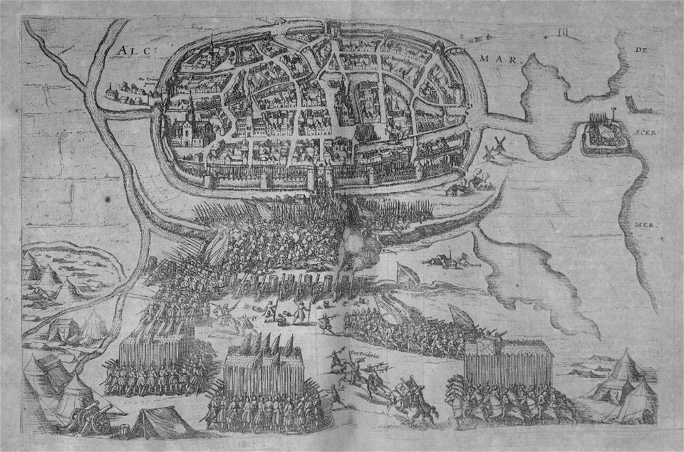
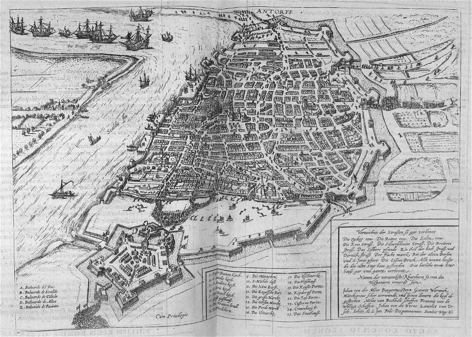
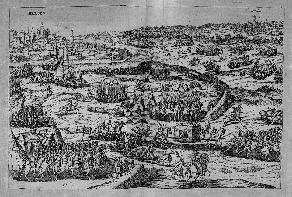
nouus de leone belgico..., 1588
cartography
maps by edward wright
molyneux globes
engravings of topographia superioris saxoniae, thüringiae, misniae et lusatiae (merian)
baroque
maps by jakob van der schley
old maps of southeast asia
alonzo chappel
maps from university of amsterdam special collections
atlas der neederlanden
maps from university of amsterdam special collections
atlas der neederlanden
engravings from michael strogoff by charles barbant
illustrations from michael strogoff by jules férat
cartography
maps
cartography
maps
maps of tunis by braun & hogenberg
conquest of tunis (1535)
engravings from michael strogoff by charles barbant
illustrations from michael strogoff by jules férat
18th-century maps of morocco
1700s maps of algeria
maps of limousin by jean fayen
pieter schenk (ii)
old maps of saxony
cartography
maps
colored copperplate engraving
asia noviter delineata
bibliothèque nationale de france
dheulland map of paris
maps
city
maps
city
maps
city
maps
city
maps
city
maps
city
maps
city
maps
city
maps
city
maps
city
maps
city
maps
city
carta hydrographica y chorographica de las yslas filipinas
baroque painting
maps of fritzlar
nicolaus person
maps in the rijksmuseum amsterdam
old maps of franeker
maps of frankenberg (eder) by braun & hogenberg
history of frankenberg (eder)
maps
city
maps
city
maps
city
maps
city
maps
city
maps
city
maps
city
maps
city
maps
city
maps
city
description de l'universe
1685 in spain
cartography
maps
maps of the temple mount
joseph swain
maps by pieter van der keere
fleet of nassau
de praecipvis totivs vniversi vrbibvs, liber secvndvs (1612)
maps of orléans by joris hoefnagel
maps by willem and johannes blaeu
old maps of malta
maps from the earth and its inhabitants, vol. vii
maps
city
maps
city
maps
city
maps
city
maps
city
maps
city
maps
city
maps
city
maps
city
maps
city
maps
city
maps
city
maps
city
maps
city
russo-turkish war (1787–1792)
old maps of ochakiv
maps of hrodna by braun & hogenberg
historical images of hrodna
cartography
maps
1708 in nuremberg
history of wöhrd
maps of bardowick by braun & hogenberg
1704 engravings
illustrations about measurement in the deutsche fotothek
birckenstein handgriffe (image set)
maps in the library of congress
1753 maps
maps of cluj-napoca by braun & hogenberg
egidius van der rye
wanderings, south and east (1882)
1882 maps of the world
maps by thomas nast
1872 maps of texas
history of gostenhof
1708 in nuremberg
cartography
maps
engravings from dick sand, a captain at fifteen by charles barbant
illustrations from dick sand, a captain at fifteen by henri meyer
topographia franconiae (merian)
baroque
travel
maps
travel
maps
travel
maps
travel
maps
travel
maps
travel
maps
travel
maps
travel
maps
travel
maps
travel
maps
travel
maps
travel
maps
travel
maps
travel
maps
travel
maps
travel
maps
travel
maps
travel
maps
travel
maps
travel
maps
travel
maps
travel
maps
4601 - 4700 of 7,118
Next page
/ 72